Ground investigation, structural monitoring and land surveying, giving you the data your project depends on.

Every project sits on ground you cannot fully see. Whether you are breaking ground on a new development, managing ageing infrastructure or monitoring an asset under construction, decisions made without reliable subsurface and survey data carry real risk to programme, budget and safety.

The complexity of underground utility networks across Ireland's urban and rural areas continues to grow. At the same time, demands for accurate, timely ground information are increasing from planners, engineers and contractors alike. Working without that data is not an option. Working with data you cannot trust is worse.

Talk to our experts


Miriam Temino

Miriam Temino

Senior Project Manager

Senior Project Manager

Salesireland@socotec.com
Mark Hodgens

Mark Hodgen

Director of Operations - Datum Monitoring

Director of Operations - Datum Monitoring

salesuk@socotec.co.uk

Geotechnical and Geospatial Surveying Services - What We Do

Our geotechnical and Geospatial surveying capability covers two interconnected disciplines: monitoring the ground and structures that support your project and surveying the land and utilities that define it.

These services sit at the foundation of sound project planning and delivery. They are relevant at every stage from early-phase desktop investigation, underground utility and topographical surveying through to long-term structural monitoring on live infrastructure.

We work across construction, infrastructure, utilities, energy and the public sector in Ireland, providing the technical data and expert analysis that project teams need to make informed decisions.

Managing Risks Through Investigation and Monitoring

Key considerations for your project may include :
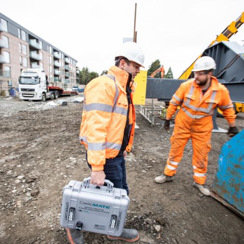
monitoring


  • Understanding ground conditions before works commence
  • Mapping existing underground utilities to reduce excavation risk
  • Monitoring ground movement, settlement or structural behaviour during construction
  • Meeting regulatory and contractual requirements for site investigation and survey
  • Managing ongoing asset condition through reliable, real-time data


  • Understanding ground conditions before works commence
  • Mapping existing underground utilities to reduce excavation risk
  • Monitoring ground movement, settlement or structural behaviour during construction
  • Meeting regulatory and contractual requirements for site investigation and survey
  • Managing ongoing asset condition through reliable, real-time data


What we deliver
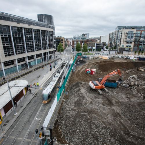
  • decorative yellow quote

    Geotechnical & Structural Monitoring

    Ground moves. Structures respond. Understanding that relationship, reliably and in real time is what geotechnical and structural monitoring delivers.

    We design, install and manage monitoring systems for construction sites, infrastructure assets and ground investigations across Ireland. Our work covers instrumentation selection, installation and data provision, combining engineering expertise with the ability to interpret what the data means for your project.

    Services within this area include:

    • Construction monitoring
    • Asset monitoring
    • Manual monitoring and surveying
    • Environmental instrumentation and monitoring
    • Data visualisation

    Outcome: You receive clear, actionable intelligence about the condition of your site or asset enabling you to manage risk, protect third parties and meet your contractual obligations with confidence.

    Read + Read -
  • decorative yellow quote
    Surveying

    Topographical & Utility Surveying

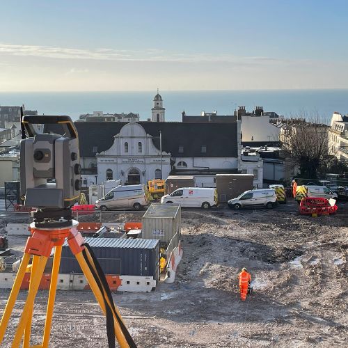
    Accurate survey data is the starting point for almost every project decision. From understanding the physical characteristics of a site to locating buried utilities before a single shovel breaks ground, the quality of your survey directly affects the quality of your project.

    Our surveying team works across Ireland, applying appropriate survey methodologies and technology to deliver precise, usable data. We tailor our approach to the scope and complexity of each project, from a desktop review through to a full multi-method survey programme.

    Services within this area include:

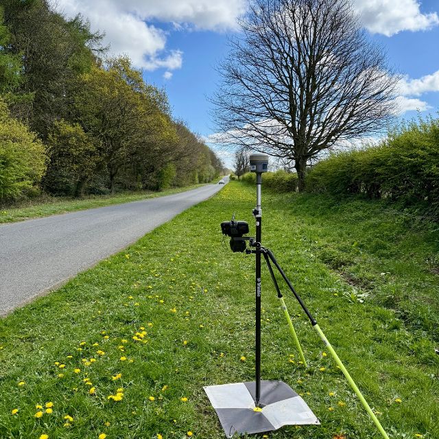
    • Topographical surveys
    • Underground utility surveys
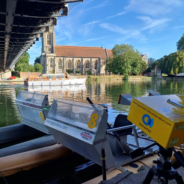
    • GPR surveys
    • Geophysical surveys
    • Aerial surveys
    • Laser scanning, point cloud & 3D model delivery
    • Setting out services
    • Asset surveys
    • Desktop surveys

    Outcome: You gain an accurate, detailed picture of your site, above and below ground that supports safe planning, efficient design and compliant project delivery.

    Read + Read -
  • decorative yellow quote
    Geotechnical & Geospatial Surveying Services in Ireland

    Environmental Monitoring

    SOCOTEC Ireland provides environmental monitoring services to help clients manage the effects of construction, demolition, piling, quarrying and other activities on surrounding buildings, infrastructure and communities.

    We supply, install and maintain monitoring equipment for temporary and permanent installations, with data reporting and automated alerts configured to suit project requirements.

    Services within the area include:

    • Continuous construction and demolition noise monitoring
    • Baseline noise surveys with threshold alerts
    • Construction, demolition, piling and excavation vibration monitoring
    • Peak Particle Velocity (PPV) measurement and threshold alerts
    • Ambient air quality and PM10/PM2.5 particulate monitoring
    • Construction dust and dust deposition monitoring
    • Groundwater level and water quality monitoring
    Read + Read -
  • decorative yellow quote
    Geotechnical & Geospatial Surveying Services in Ireland

    Automated Monitoring & Data Management

    In addition to instrument installation, SOCOTEC Ireland provides automated monitoring and data management systems for projects requiring continuous access to measurement data.

    Our systems collect information from a range of monitoring instruments, allowing clients and project teams to review measurements, assess trends and receive notifications when agreed thresholds are exceeded.

    Our services include

    • Automated data acquisition and telemetry
    • Remote and continuous monitoring
    • Online monitoring dashboards
    • Data visualisation and historical trend analysis
    • Configurable monitoring thresholds and alerts
    • Automated reporting and data exports
    • Integration of multiple instrument types into a single platform
    • Remote diagnostics and system maintenance
    • Ongoing technical support and data management
    Read + Read -
01 / 05

Our Approach

We provide a complete monitoring service, from initial consultation and instrument selection through to installation, commissioning and ongoing monitoring.

Our team works with contractors, engineers and asset owners to establish suitable monitoring arrangements based on site conditions, project requirements and agreed monitoring specifications.

We can provide individual instruments for specific monitoring requirements or integrated systems combining geotechnical, structural and environmental measurements within a single monitoring platform.

Why Choose SOCOTEC
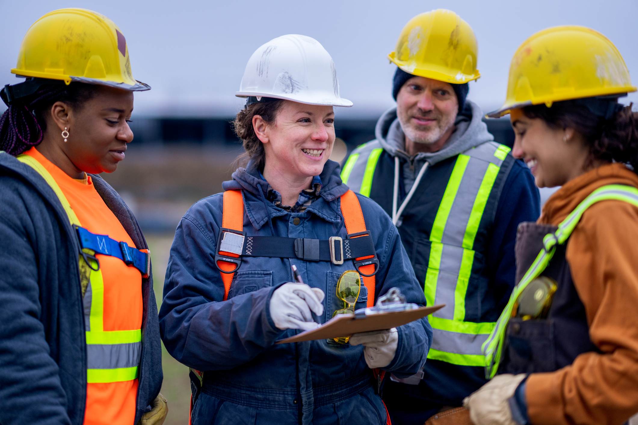
teamwork-onsite

End-to-end capability

From initial desktop investigation through to live monitoring on a construction project, we provide geotechnical and surveying services across the full project lifecycle. This means fewer interfaces, clearer accountability and a more joined-up service for your team.
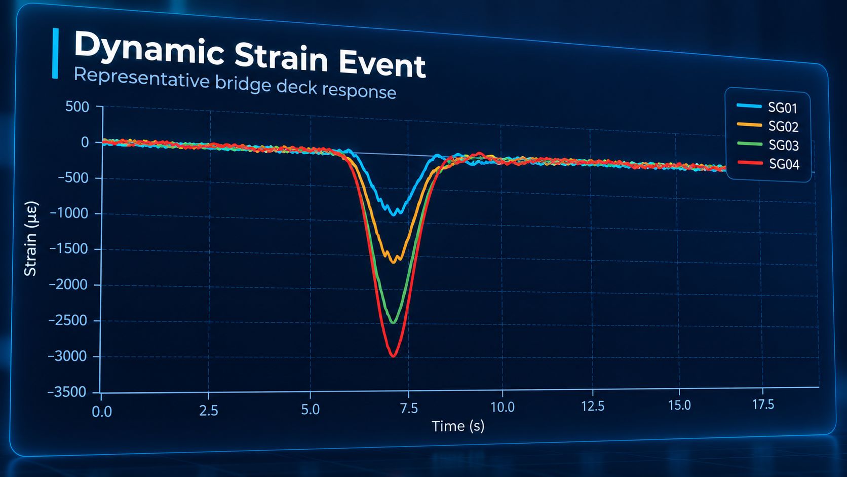
data SOCOTEC Ireland

Data that goes beyond raw readings

Collecting data is straightforward. Understanding what it means for your project takes experience. Our teams are specialists in interpreting geotechnical and survey data, translating measurements into decisions your engineers can act on.

complex-projects

Proven on complex projects

Our monitoring and surveying teams have delivered on demanding infrastructure projects in challenging ground conditions, constrained urban environments and time-critical programmes. That experience is directly relevant to the projects we support in Ireland.
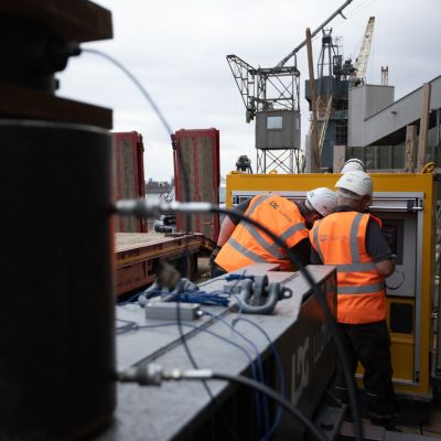
Geotechnical Geospatial Surveying

A single point of contact

Where a project requires both geotechnical monitoring and land surveying input, you work with one team under one interface. That reduces management overhead and keeps your project moving.

Who We Work With

Get in Touch Today!


016872910 if dialling from ROI 
00353 16872910 if dialling from NI/UK

Discover our latest News & Media

Filter by :
Tags
Period
Event Type
Free

Talk to our experts

Miriam Temino

Miriam Temino

Senior Project Manager

Senior Project Manager

Salesireland@socotec.com
Mark Hodgens

Mark Hodgen

Director of Operations - Datum Monitoring

Director of Operations - Datum Monitoring

salesuk@socotec.co.uk