

Geotechnical & Geospatial Surveying Services in Ireland
Ground investigation, structural monitoring and land surveying, giving you the data your project depends on.
Every project sits on ground you cannot fully see. Whether you are breaking ground on a new development, managing ageing infrastructure or monitoring an asset under construction, decisions made without reliable subsurface and survey data carry real risk to programme, budget and safety.
The complexity of underground utility networks across Ireland's urban and rural areas continues to grow. At the same time, demands for accurate, timely ground information are increasing from planners, engineers and contractors alike. Working without that data is not an option. Working with data you cannot trust is worse.

Talk to our experts

Geotechnical and Geospatial Surveying Services - What We Do
Our geotechnical and Geospatial surveying capability covers two interconnected disciplines: monitoring the ground and structures that support your project and surveying the land and utilities that define it.
These services sit at the foundation of sound project planning and delivery. They are relevant at every stage from early-phase desktop investigation, underground utility and topographical surveying through to long-term structural monitoring on live infrastructure.
We work across construction, infrastructure, utilities, energy and the public sector in Ireland, providing the technical data and expert analysis that project teams need to make informed decisions.
Managing Risks Through Investigation and Monitoring
Key considerations for your project may include :
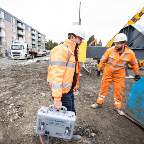
- Understanding ground conditions before works commence
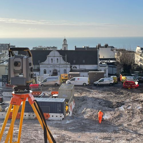
- Mapping existing underground utilities to reduce excavation risk
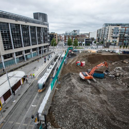
- Monitoring ground movement, settlement or structural behaviour during construction
- Meeting regulatory and contractual requirements for site investigation and survey
- Managing ongoing asset condition through reliable, real-time data
- Understanding ground conditions before works commence
- Mapping existing underground utilities to reduce excavation risk
- Monitoring ground movement, settlement or structural behaviour during construction
- Meeting regulatory and contractual requirements for site investigation and survey
- Managing ongoing asset condition through reliable, real-time data
What we deliver
Why Choose SOCOTEC
End-to-end capability
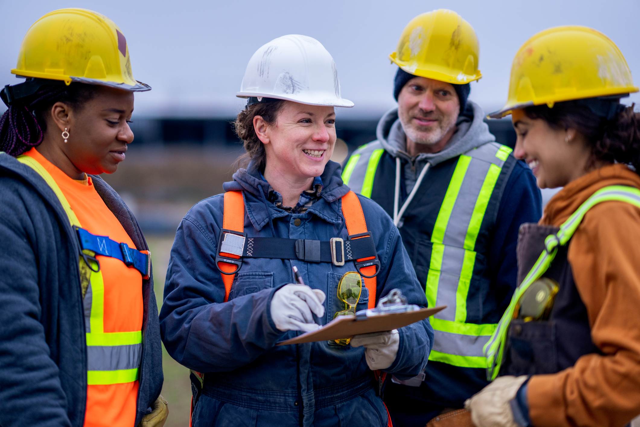
From initial desktop investigation through to live monitoring on a construction project, we provide geotechnical and surveying services across the full project lifecycle. This means fewer interfaces, clearer accountability and a more joined-up service for your team.
Data that goes beyond raw readings
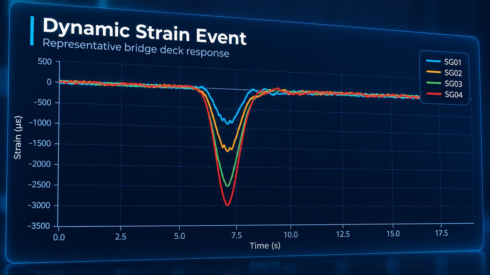
Collecting data is straightforward. Understanding what it means for your project takes experience. Our teams are specialists in interpreting geotechnical and survey data, translating measurements into decisions your engineers can act on.

Proven on complex projects
Our monitoring and surveying teams have delivered on demanding infrastructure projects in challenging ground conditions, constrained urban environments and time-critical programmes. That experience is directly relevant to the projects we support in Ireland.
A single point of contact
Where a project requires both geotechnical monitoring and land surveying input, you work with one team under one interface. That reduces management overhead and keeps your project moving.
Who We Work With

Property developers and construction contractors
Civil and structural engineers
Infrastructure and utilities operators
Local authorities and public bodies
Asset and facilities managers
Architects and planning consultants
Speak to Our Geotechnical and Surveying Team.
Whether you are at the planning stage of a new project or need monitoring support on a live site, we are here to help.
Discover our latest News & Media

Talk to our experts